Japan, Koizumi Sokki
Koizumi Sokki Hi-Survey GNSS data collector software
Product made in Japan
Manufacturer: Koizumi Sokki
Model : Hi-Survey
Characteristics
Hi-Target’s GNSS receivers (V100, V90plus, iRTK5x) come standard with the data collector software Hi-survey.
Hi-survey is a versatile control software for his RTK positioning with a GNSS receiver. It operates on Android 6 or higher terminals and performs total setting and observation of fixed and mobile stations. It covers all necessary functions from the collection of positioning data to surveying and route surveying.
We publish feature introductions and usage examples on our blog. You can check the list of published articles here.
Features
- Android (Ver.6 or higher) operation
- RTK/PPK/Static observation settings
- Various observation functions
- Point staking, line staking, route function
- Supports tilt survey (when using V90plus)
- DXF data, Google map can be used as background
Observation function
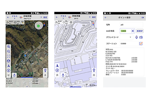
In addition to general 1 epoch observation and average observation (default 10 epochs), there is an automatic observation function that automatically observes at fixed time intervals and fixed distance intervals.
You can also display Google maps, DXF drawings, etc. in the background of the observation screen.
Stakeout (reverse hammering) function
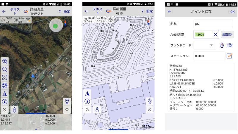
Measure the coordinates imported by manual input, SIMA, CSV, etc. With the line stakeout function, center piles and width piles are staked based on defined elements (straight lines, clothoids, etc.).
A magnetic sensor built into the controller rotates the map according to the direction of the controller.
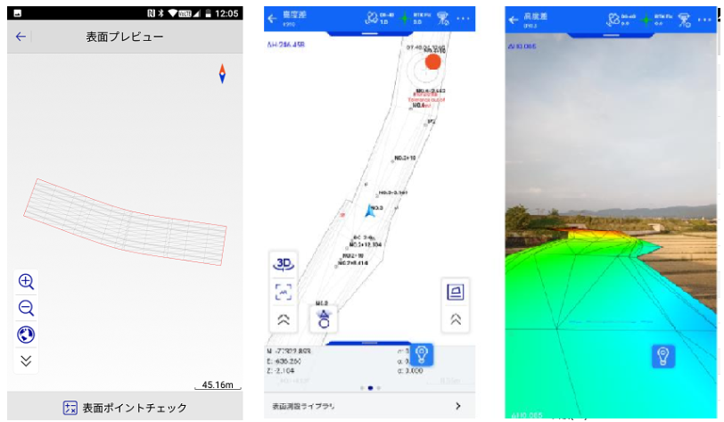
AR staking can use the camera of the controller to display the direction and distance to the staking point on the current landscape.
CAD function
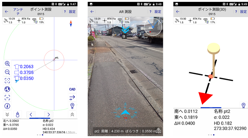
You can create polylines and polygons by connecting the observed points. Created elements can be exported as CAD/GIS data such as DXF/KML.
When a CAD drawing is displayed in the background, it is possible to set it up by specifying a single point/intersection point of a line segment, a node of a polyline, etc.
Route function/cross-sectional observation
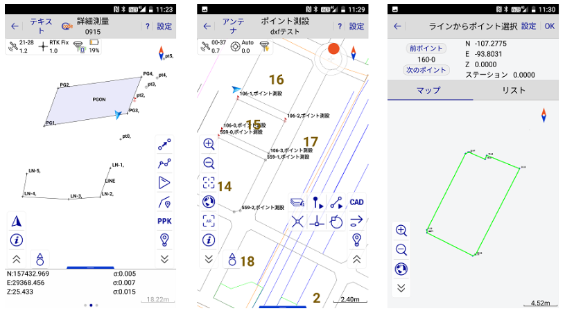
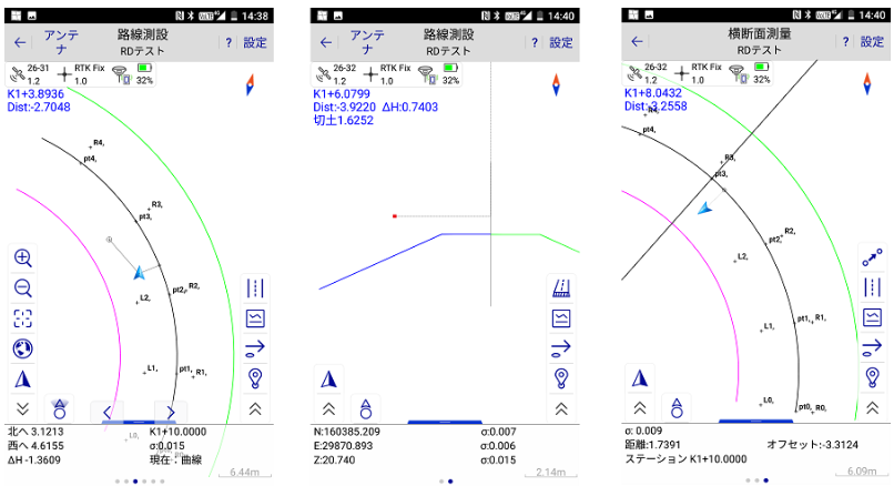
Stake out centre piles and width piles by importing definitions of centerlines, longitudinal sections, and cross sections using element input or LandXML.
You can check in real-time the difference between the defined longitudinal section/cross-section and the current altitude.
In cross-section observation, you can navigate to the cross-section that intersects the centerline you define and observe the coordinates on the cross-section.
Utilization of 3D design data
You can import TIN data such as LandXML to define surfaces. You can see in real-time the difference between the defined surface and the current altitude.
Earth volume can be calculated by comparing the current altitude and surface data formed by observing multiple points with the defined surface data.
Enhanced AR functionality. Three-dimensional data can be displayed on the landscape captured by the terminal camera.
