Japan, Koizumi Sokki
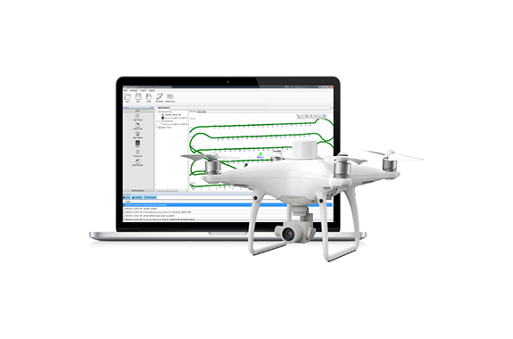
Koizumi Sokki PPK Go Post-processing Software
Product made in Japan
Manufacturer : Koizumi Sokki
Model : PPK Go
Characteristics
Hi-Target PPK post-processing correction software PPK Go can obtain precise and reliable drone camera position data with a significantly reduced installation of grade points (GCPs).
Analysis results are output to 2 cm accuracy by geotagging updates to text or image files and can be used directly in leading SfM software.
What are PPKs?

The general workflow for PPK (Post-Processing Kinematics) is as follows:
During flight, the UAV adds geotags to each image based on the on-board GNSS unit. At the same time, GNSS data from base stations (GNSS receivers, aerocontrollers, electronic reference points, etc.) are recorded on the ground side.
After the flight, these two GNSS data are matched by image timestamps. The image geotags are then updated to higher precision coordinates based on the PPK analysis results.
A series of steps are post-processing, so data can be collected without communication between the UAV and the reference station. Reliable positioning is possible because there is no data loss due to the communication environment or communication distance.
Workflow

Features
- Ultimate efficiency, greatly reduced work man-hours
By using the PPK method, it is possible to significantly reduce the number of GCPs installed and perform highly accurate aerial photogrammetry. By shortening the time to correct defects in RTK-FIX, accuracy is ensured while significantly reducing field work time and costs. - Multi-satellite system compatible
Supports satellite systems of various countries (GPS / GLONASS / Beidou / Galileo L1 + L2 + L5, etc.), so even in environments where the signal from a single satellite system is insufficient, PPK analysis can be performed by appropriately selecting satellites. You can do. Ensures more reliable and accurate camera position coordinates. - Electronic reference point Integrate reference station data
PPK data can be processed without installing a GNSS base station by automatically downloading GEONET data and importing post-processed VRS data.
Trial download

Full functionality of PPK GO is available for 15 days only. If you fill in the application form, you can get manuals, catalogs, and software. Please try it.
Related Products
-
Watanabe WSP-DSW 2-output isolation converter (2-output isolator) – Signal Converter
-
Hammer Caster 420 SA / 413 SA 50-75mm Caster
-
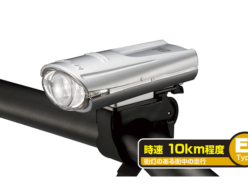
Gentos BL-350SR Dry Battery Bike Light (80lm / 1400cd)
-
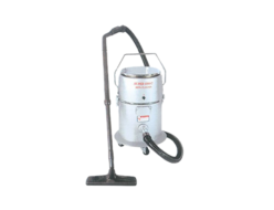
Nippon Seimitsu FC-111-A13 Super 1000C Industrial Vacuum Cleaners
-
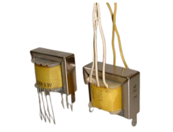
IIZUKA CFP Horizontal band printed circuit board type
-
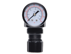
Ross Asia Miniature series Port sizes 1/8″ and 1/4″. Flow rates up to 40 scfm (1133 l/min)

